
Julio Pedrassoli, Ph.D.
A geographer blending remote sensing and social justice to map cities, risks, and resilience in the Global South.
Education
PhD in Geography (University of São Paulo)
MS in Remote Sensing (University of São Paulo)
BS in Geography (São Paulo State University)
Research Interests
My research combines geospatial technologies with environmental analysis to address challenges in urban development, land use change, and sustainability. I focus on developing methodologies for accurate mapping and monitoring of urban areas.
Projects

MapBiomas Brasil
Time Series LULC maps for Brazil using Cloud Computing and Machine Learning.
View Project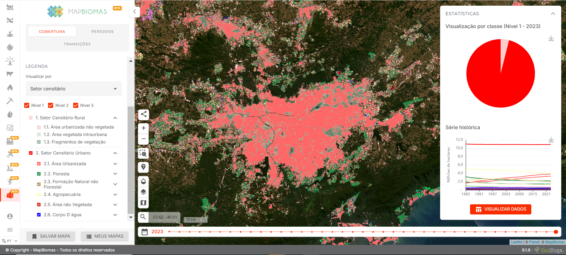
MapBiomas Urban (Supported by mapBiomas and NASA Lifelines - Ready for Impact)
Scalable data for climate aware urban planning in the tropical world.
View ProjectMapping The Climate Emergency in Brazilian Schools
Partnership Between Alana Institute and MapBiomas to create a database to analyse the Climate Emergency in Brazilian Schools.
View Project